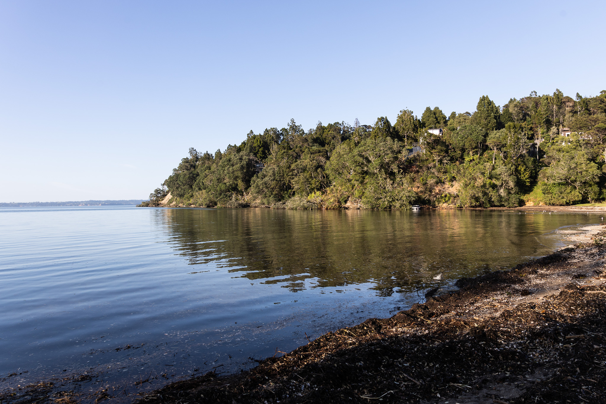
Council has recently been consulting on the draft Manukau North Shoreline Adaption Plan and the draft Whatipu to South Head Shoreline Adaption Plan.
The intent is to let locals have input into the designing of plans to deal with Council facilities threatened in the future by raising sea levels.
I think it is fair to say that discussions about the shoreline adaption plan have morphed into something much bigger that what was originally intended.
By definition the plans deal with Council assets only. But the discussions about the plan have suggested that local communities wish to talk about the future and about how we are going to adapt to the effects of climate change.
A recent Piha News posed these questions which are a good summary of the questions that are being asked.
- Could your property value be affected?
- Will this affect LIM’s and and your ability to insure your home?
- The Plan ONLY addresses Council assets and does not consider Surf Clubs or other community Assets such as the Gallery, Library, Bowling Club, Post Office, Tennis Club, etc.
- No consideration is given to roads and bridges that could cut off access to much of Piha.
- There is no consideration given to land instability created by sea-level rise or a higher risk of flooding.
- The accuracy of the modelling, on which the SAP has been based is questionable.
- What is the legal/statutory basis of the plan.
- Why has there been a lack of consultation with the community and opportunities for understanding of the plan by the community? Local board has insisted on this.
My interim responses to these questions are as follows:
- The report should not affect house values although the doubts that it creates about road access are not helpful. The report is intentionally designed to refer only to council assets. What will affect house values is the data that Council collects and includes in LIM reports and in Council’s Geomaps viewer in the natural hazards section.
- LIM reports and the plan rely on the same data but I anticipate that LIM report data will be updated as circumstances change. I do not think that insurance companies will rely on this report to make decisions about insurance but they will obviously look at the data relied on by LIM reports.
- The report does not look at community assets, only Council assets. To review community assets will require a significant change in is obviously a bigger piece of work.
- Failure to give any certainty about roads is in my view one of the major weaknesses of the approach adopted and of the report.
- Land stability and flooding are bigger pieces of work that obviously will need to be done in the future.
- The data will be reviewed from time to time. I note that the flooding data in Geomaps was remarkably accurate in predicting what would happen in last year’s storm.
- The report has no legal status as such.
- The local board has insisted on there being greater opportunities for locals to have their say on the draft reports and I am pleased that staff have allowed for this to happen.
The level of concern and the issues being raised makes me wonder if we should have a local climate adaptation policy. Because the issues being talked about are primarily about seeking some certainty about adaption and planning.
The Environmental Defence Society has proposed a climate adaptation act. The proposal is that there be legislative guidance setting out such things as a clear purpose for climate adaptation, mandatory regional climate change risk assessments, a National Environment Standard that requires that subdivision and that land use consents are not granted for new hazard-sensitive development where there is high natural hazard risk.
The proposal would require councils to collect information on the number, type and total value of buildings located in areas subject to high natural hazard risk. For locals EDS proposes that existing use rights are amended, with compensation so residential use can be excluded from areas undergoing managed retreat. It also suggests that a National Adaptation Fund be established to help finance the preparation and implementation of local adaptation plans as well as the acquisition of property for managed retreat.
The proposal anticipates local adaptation planning setting out the purpose of plans, when they are to be initiated, their content and the process to prepare them.
The proposal has merit. Given the response from locals I wonder if it is time for Council to prepare a localised climate change risk assessment as well as a local adaption plan for our area?
I sense a yearning for those big questions to be answered. How are we going to adapt to the effects of climate change and what will our future look like?
The current Shoreline Adaption Plans are not this piece of work.
Perhaps Council should start this larger discussion.

Leave a Reply